
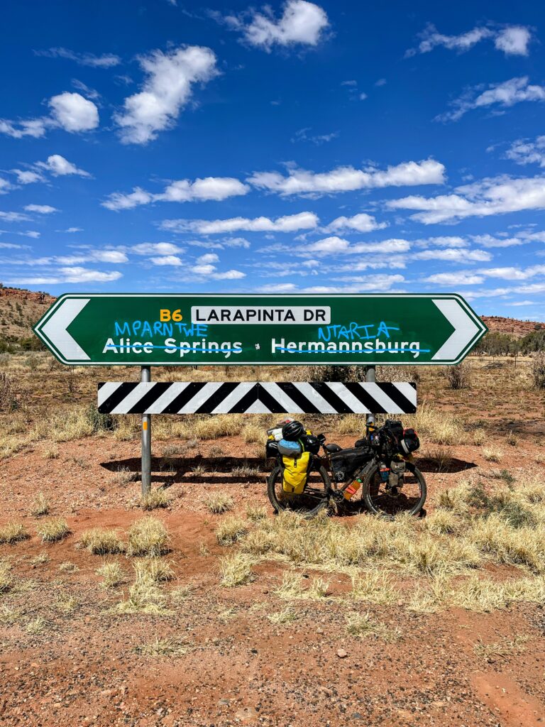
It had been almost five weeks since I’d first arrived in Alice Springs on my bike. Time flies when you’re having fun. It was time to get ready and hit the road once more. I packed my panniers and completed a final food run at the supermarkets in Alice knowing that soon my grocery shopping would be much more limited (including many blocks of chocolate – chocolate isn’t cheap in the outback!).

One of my Melbourne pals Annie put me in contact with an Alice Springs local, Cairns who has his own bike workshop in town. Cairns fixes up bikes and takes them out to remote Indigenous communities around Alice Springs. He also holds bike repair workshops. What an awesome human! Thanks heaps again for the use of your workshop and helping me give the R’Ogre a good service. It was time to say farewell to Alice and the lovely people I had met during my time there.

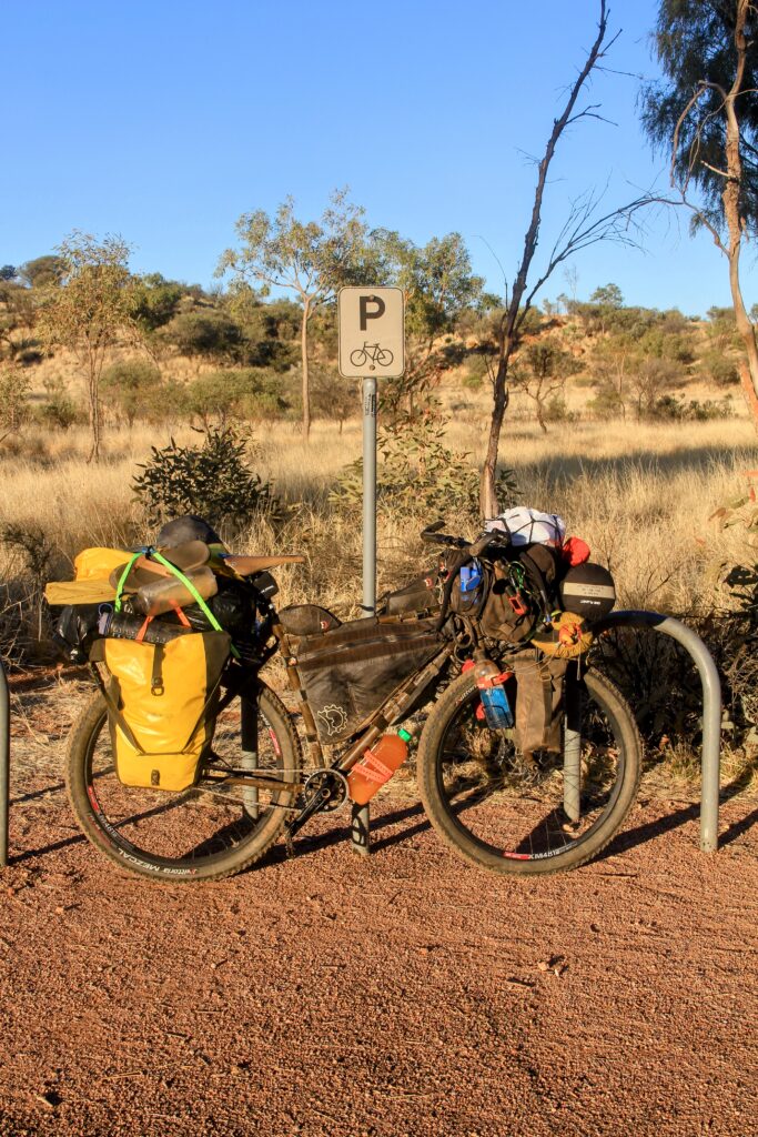
I was just about ready to roll but admittedly had some qualms about how much bike fitness I’d have lost since first getting to Alice. Ah well I thought – it’ll come back soon enough! This is one of the best things about bike touring – you don’t have to be an Olympic athlete or ultra fit to go on a long distance cycling tour. The fitness will come – all you need to do is start pedalling (see my earlier post about the Doorstep Mile http://uji.anc.temporary.site/2022/06/13/the-doorstep-mile/). Take it slow, keep the distances low and your bike fitness will build.
I decided to head back out of Alice via Namatjira Drive and attempt to link up with the Tanami Track via the remote Indigenous towns of Papunya and Yuendumu. There appeared to be road of sorts on Google Maps and my other navigation app of choice – MapOut (highly recommended for the downloadable topographic maps but unfortunately iPhone only https://apps.apple.com/app/mapout/). I had little to no idea about how sandy or corrugated the route might be after some pretty variable responses from the Alice Springs locals I’d consulted.

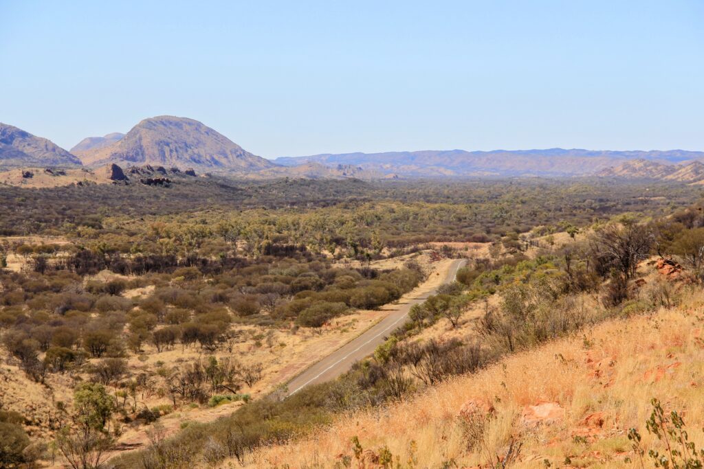
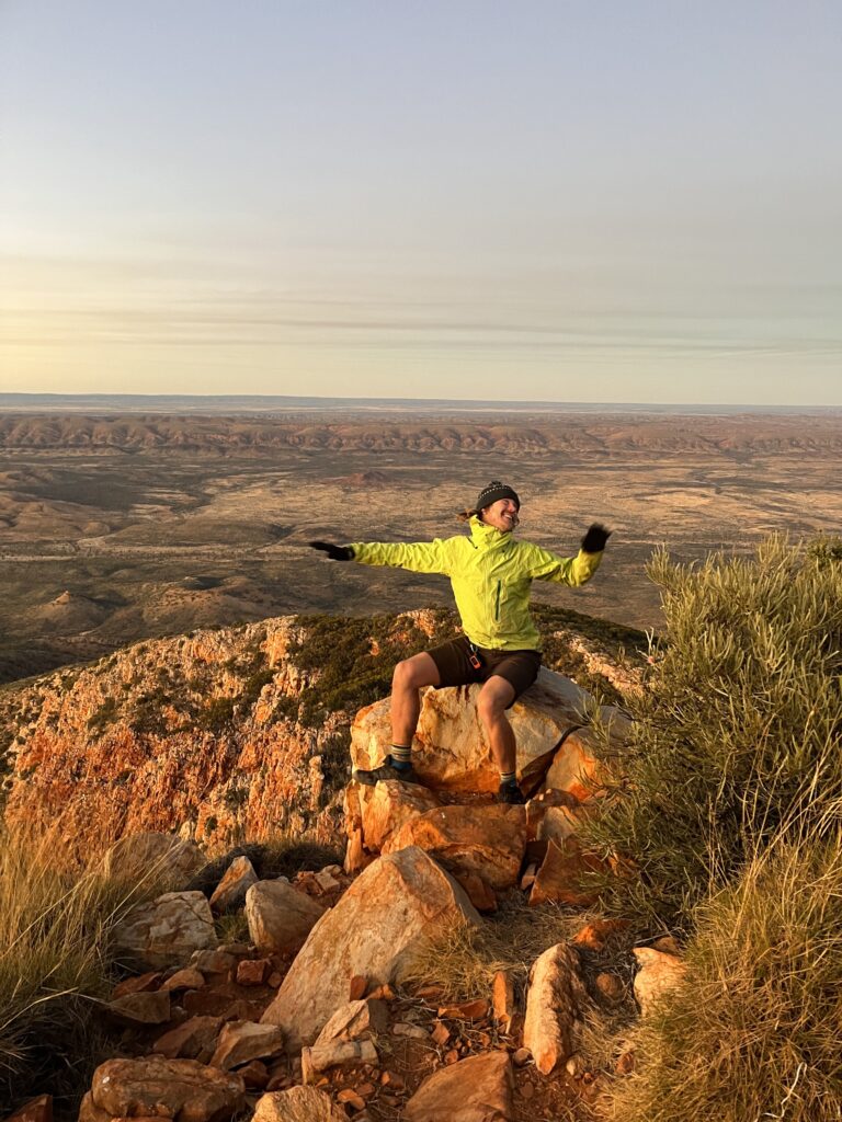
The drawcard of heading west meant I could check out a few more of the awesome natural features of Tjoritja (West MacDonnell) National Park including the famous peak of Rwetyepme (Mt Sonder). Many people hike up in the darkness for sunrise at the summit and the spectacular views of the surrounding landscape. The hike is often the grand finale to the epic Larapinta Trail, a 223 km bushwalk that can be trekked both ways from Alice Springs to Rwetyepme. Shout out to fellow camper Steve for the beer and snacks at the Ridgetop Campsite.

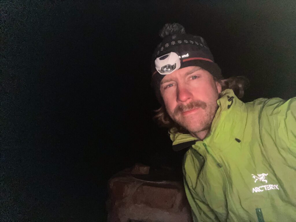
I set the alarm for 3:30am, waking up bleary eyed but excited for the views. I marched to the summit, dusting off the hiking cobwebs and giving my legs a run for their money. Fortunately the trail was well made and easy to follow using the light of my head torch. It was pretty chilly at the top so I took shelter and chatted with my new friends Lisa & Lucy whom I’d met at camp the previous evening.
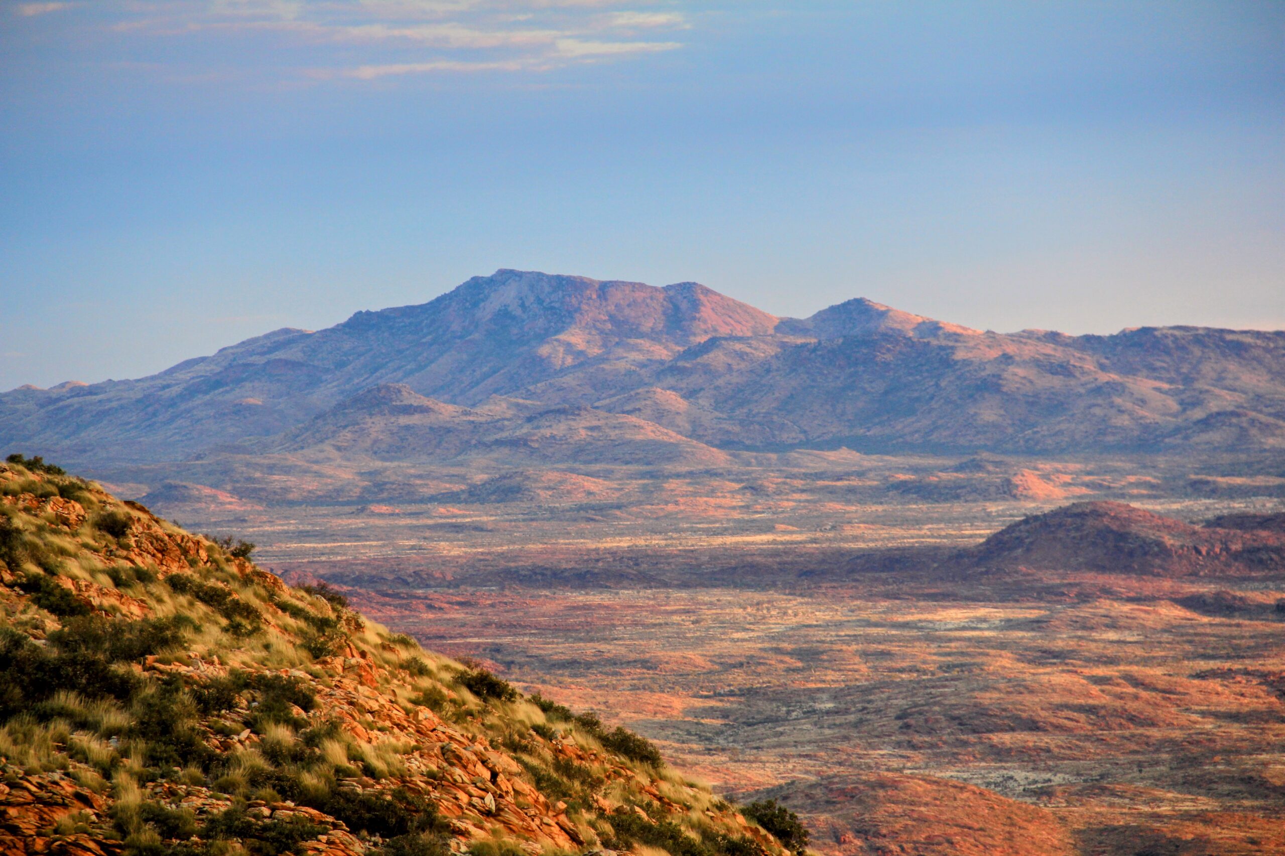
What a stunning location to watch the sun rise, from the first faint red glow on the horizon through to the blazing oranges and yellows as light was cast all over Tjoritja. Talk about being blown away! I enjoyed identifying many of the surrounding features including Urlatherrke (Mt Zeil) – the tallest mountain in the Northern Territory.


Once the sun was well and truly up it was time to head back down to camp. My knees took a beating but I enjoyed seeing the track by the light of day. I soothed my legs, tired from the hike and my first few days back on my heavy bike, in the ice cold water of Yarretyeke (Redbank Gorge).


After a nice nap I opted to get back on the road, saying goodbye to Tjoritja and getting a few more kilometres under my belt. What a way to restart the expedition!


